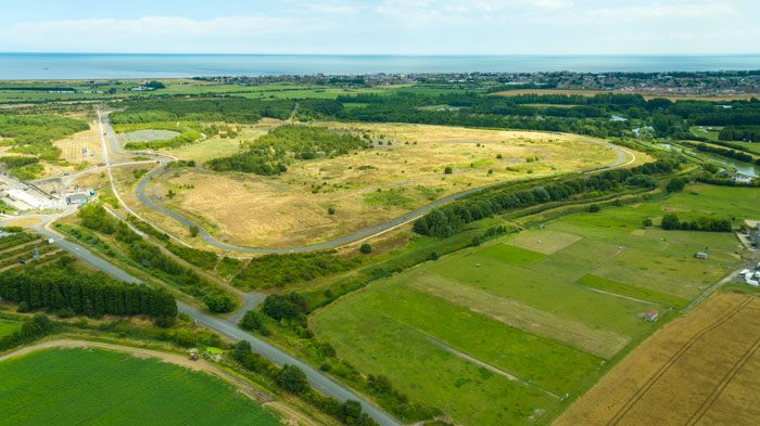
Our newest piece of technology, the Inspire 1 UAV, was out on patrol recently and captured an aerial perspective of Betteshanger Country Park. The new drone captures 3D data from sites and turns them into highly accurate models that we can use to assess hydrology, site context, elevation data and built structures and is invaluable in the preparation of LVIA reports. Look out for an upcoming article in this months Landscape Magazine on Drone technology in Landscape Architecture, written by Peter Wilder.
